




Ask a passenger what a chauffeur does and they will describe driving. Ask a chauffeur and they will start somewhere else entirely, usually the night before, looking at a map of somewhere they may have driven a hundred times. The route is the part of the job that consumes the most thought and is the least visible from the back seat.
This is partly because the obvious answer is so often wrong. Satellite navigation optimises for one thing, which is estimated journey time under current conditions. Chauffeur work optimises for several things at once, including reliability, comfort, where the car can legally stop at the far end, and what happens if the primary route closes. Those are different problems.
Fastest is not the same as best
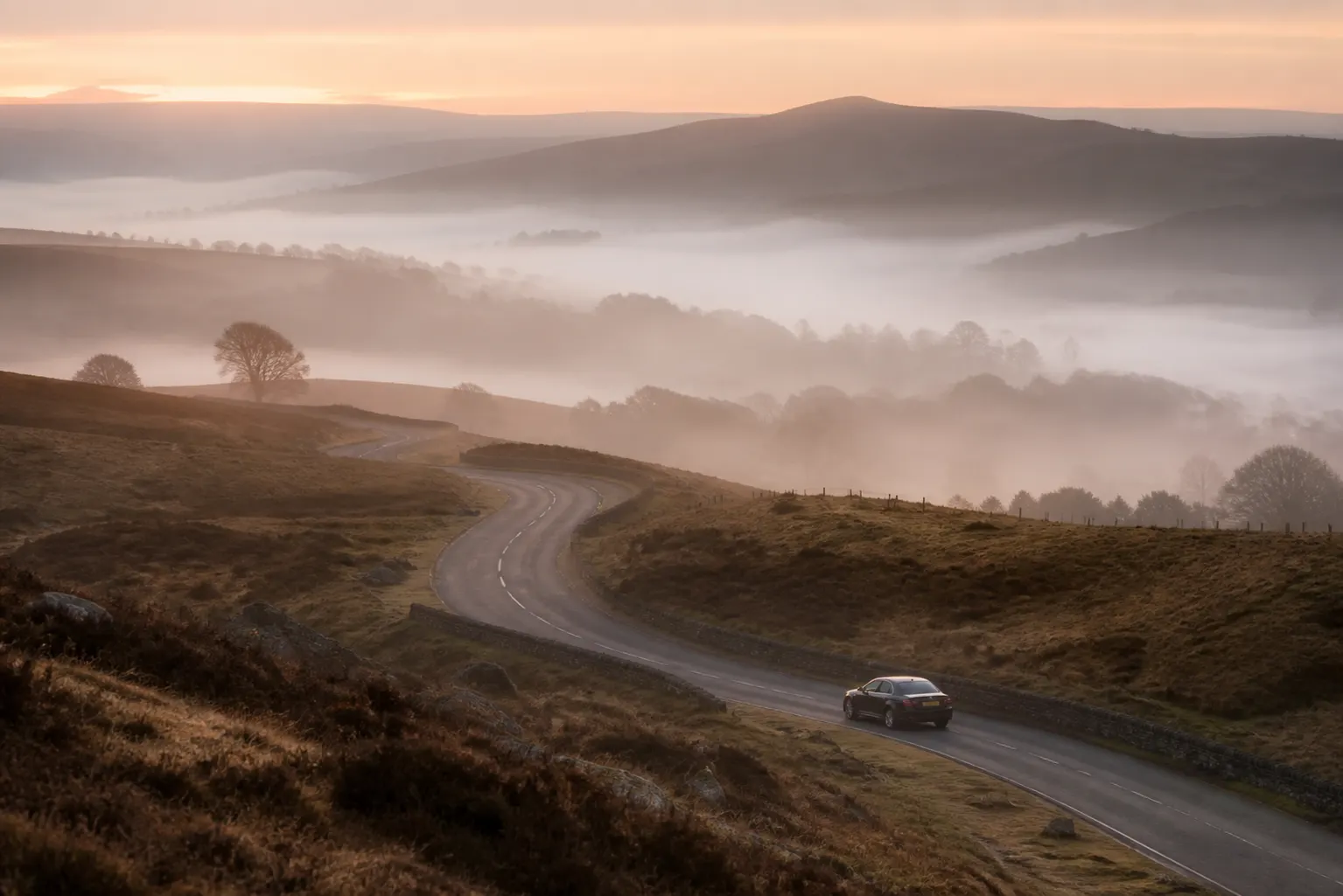
A route that saves eight minutes on average but occasionally costs forty is a poor choice for someone catching a flight. Chauffeurs think in terms of the worst plausible outcome rather than the expected one, which frequently means choosing a slightly longer road with more alternatives hanging off it over a shorter one with none. A road you can leave is worth more than a road that is briefly quicker.
Comfort weighs in too. A road with a poor surface, tight bends or heavy braking is a worse hour for a passenger reading or working, even if the clock says it is quicker. On long runs the difference between a smooth motorway and a fast A road is not measured in minutes but in how you feel when you get out.
What planning actually involves
The night before, or earlier for anything complicated, the route is looked at properly. That means checking for planned closures and roadworks, understanding which junctions are affected at the relevant hour, identifying where the pinch points are, and choosing at least one viable alternative for the section most likely to fail. For anything with a flight at the end of it, two alternatives rather than one.
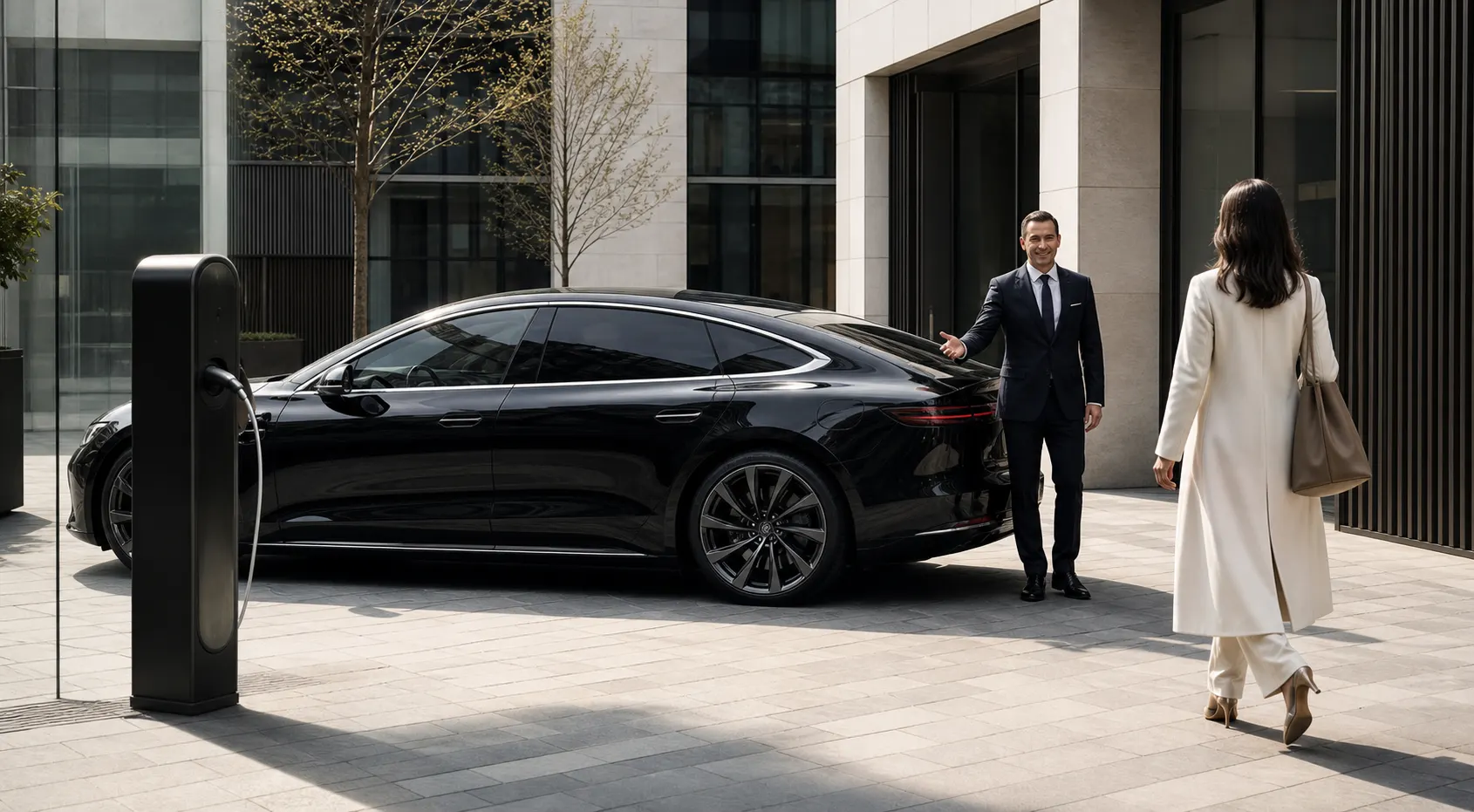
The endpoints get as much attention as the middle. Where exactly can the car stop at the collection address? Is there a barrier, a permit zone, a bus lane, a red route? Which door will the passenger actually come out of? A journey that goes perfectly for fifty miles and then loses ten minutes circling a one-way system has not gone perfectly.
- Planned closures, roadworks and overnight works on the chosen route
- The hour of travel and how it changes each pinch point
- At least one alternative for the most fragile section
- Charging and emission zone boundaries along the way
- Legal, safe stopping points at both ends of the journey
- Where to wait if the passenger is delayed coming out
- Comfort: surface quality, bends and the character of the road

London and the low-emission map
Driving in the capital now involves several overlapping schemes with different boundaries, hours and vehicle requirements, and they change from time to time. A chauffeur working the city keeps track of which apply to a given vehicle and route, and the planning takes account of them rather than discovering them on the day. The boundaries do not follow any intuition you might have about where the centre ends.
Layered on top are the physical restrictions: bus lanes with varying hours, banned turns, red routes where stopping is not permitted at all, and residential areas where through traffic has been filtered out. This is why local knowledge still matters in an age of good mapping — the map shows the road, not whether you may use it in the way you need to.
Live traffic and the limits of the screen
Live traffic data is genuinely useful and is used constantly. Its weakness is that it is reactive: it tells you a road is slow once enough vehicles are already slow on it. By then, the useful decision point may be several junctions behind you, which is why chauffeurs make diversion decisions earlier than the screen suggests. By the time the road turns red, the useful exit is usually behind you.
Local knowledge fills the gap in the other direction. Knowing that a particular junction backs up for twenty minutes on Thursday afternoons, or that a school on a certain road makes it impassable at half past three, is information no live feed provides because it is a pattern rather than an event. Patterns are learned by driving the same roads repeatedly, which is why route knowledge cannot be bought.
Building margin into the timings
Every plan carries slack, and where that slack sits is a deliberate choice. For an airport departure it goes at the front, so the car leaves earlier than the arithmetic requires. For a day of appointments it goes between stops, so that one overrun does not cascade through the afternoon. For a wedding it goes everywhere, because nothing about that day can be repeated.
This is why a chauffeur will often suggest a departure time that feels excessive. It is not padding for its own sake but the difference between arriving early with time to spare and arriving on time only if nothing goes wrong. Told which appointment is immovable, the planning arranges itself around that. Passengers who supply that one piece of information get noticeably better timings than those who do not.
What you can tell us that helps most
Three details change route planning more than anything else. The exact entrance you will use, because large buildings have several and they can be a long way apart. Your hard deadline, if you have one, because it determines where the margin goes. And any preference about the road itself, such as avoiding a particular stretch you find unpleasant. All three take a sentence each and none of them is intrusive.
Anything you know about the far end is valuable too. Estates with coded gates, hospitals with separate drop-off zones, venues where the obvious entrance is closed for an event. Passengers frequently know things about their own destination that no mapping service records, and passing them on at booking is the single most useful thing you can do. You are, after all, the only person who has actually been there.
- The exact entrance or door you will come out of
- Which appointment in the day genuinely cannot move
- Any stretch of road you would rather avoid
- Gate codes, barriers or permit requirements at either end
- Where the car can wait if you are delayed inside
- Anything about the destination that mapping would not show